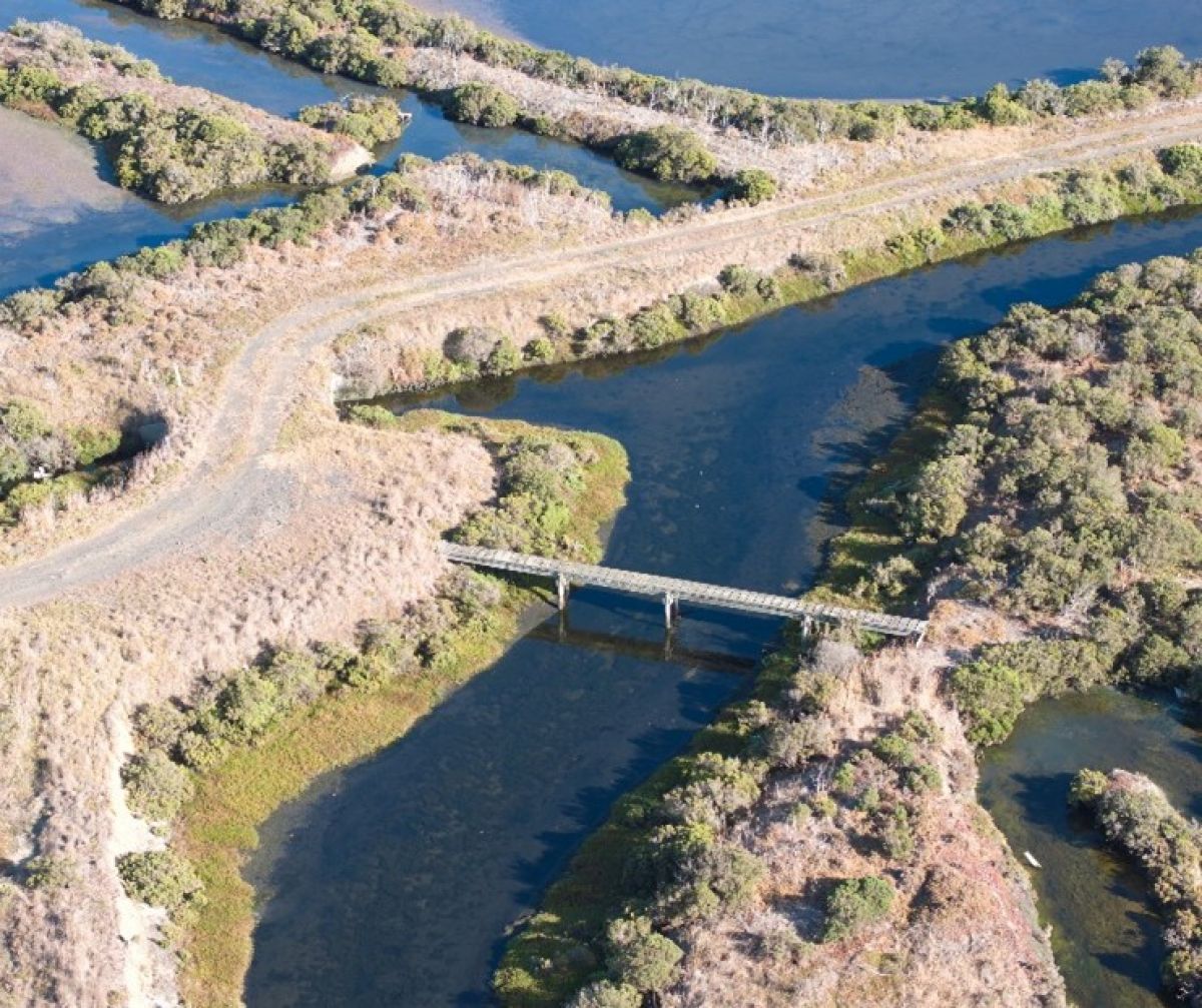
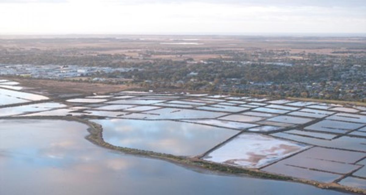
Moolap Wetlands and Former Saltworks Precinct
The Moolap Wetlands and Former Saltworks Precinct is a 550-hectare site west of Point Henry Road. It has exceptional environmental and heritage significance, including:
- extensive wetland systems that provide habitat for migratory birds protected under both national and international agreements, including the Federal Environment Protection and Biodiversity Act 1999 and the Ramsar Convention (1971)
- thousands of years of accumulated knowledge and cultural practices by the Wadawurrung People, who have a rich understanding of the landscape, its seasonal changes, and resources.
Cultural heritage continues to shape how we manage and care for the site, ensuring that Traditional Owner values and expertise remain at the heart of its future.
The area has undergone significant transformation since European settlement, particularly with the development of saltworks infrastructure. The conversion of samphire flats into salt pans has left a lasting impact on the landscape. The site is listed with Heritage Victoria for its historical significance.
Management of the Wetlands and Former Saltworks Precinct aims prioritise environmental conservation while addressing existing values and potential risks.
- This approach will integrate:
- Bird habitats and ecological preservation
- Public open spaces for recreation and enjoyment
- Stormwater management solutions
- Protection of heritage, cultural, and environmental assets
- Tourism and commercial facilities that enhance connections and infrastructure.
The Moolap Coastal Strategic Framework Plan (2019) outlines the Victorian Government’s vision for northern Moolap. It takes in Point Henry, the former saltworks, industrial zones, and adjacent rural areas. A key initiative of this plan is the development of the Environmental Management Masterplan (EMM) for the Wetlands and Former Saltworks Precinct, west of Point Henry Road.
Moolap Coastal Strategic Framework Plan (PDF)
Moolap Wetlands Environmental Management Masterplan
Project Overview
DEECA is leading the development of the Moolap Wetlands Environmental Management Masterplan (EMM). Planning underway over 2024 – 2026.
The EMM will provide long-term guidance on the sustainable management of the Moolap Wetlands and Former Saltworks area. It seeks to:
- balance environmental conservation with heritage protection
- prepare for coastal changes expected between 2040 and 2100.
The Department of Energy, Environment and Climate Action (DEECA) is collaborating with Wadawurrung Traditional Owners Aboriginal Corporation, government agencies, and environmental groups to develop this Masterplan.
Three objectives are guiding the development of the EMM:
- Objective 1: Coordinate a well-managed environment.
- Objective 2: Prioritise environmental outcomes by responding to existing values and risks.
- Objective 3: Enable required infrastructure and service utilities, and where it complements environmental management and conditions, encourage ancillary activities including tourism.
Technical Reviews and Studies
Technical assessments are being conducted within the precinct to ensure informed decision-making. They include:
- Flora and fauna conservation
- Contaminated land analysis
- Topography, geomorphology, and hydrology
- Climate and coastal hazard assessments
- Cultural Values Assessment, led by the Wadawurrung Traditional Owners Aboriginal Corporation
- Post-contact heritage evaluation
Project Funding and Community Engagement
The development of the EMM is supported by the Geelong City Deal, a partnership between the Australian and Victorian governments, the City of Greater Geelong, and delivery partners. This initiative represents a commitment of over $676 million toward creating a prosperous and sustainable future for Geelong and the Great Ocean Road region.
For project updates, factsheets, and engagement opportunities, visit Engage Victoria and be part of shaping the future of the Moolap Wetlands and Former Saltworks Precinct.

Fact sheets
- Summary report - The summary report outlines the values, constraints and possible options for management of the site.
- What we heard - community engagement round 1 feedback:
Page last updated: 09/07/25