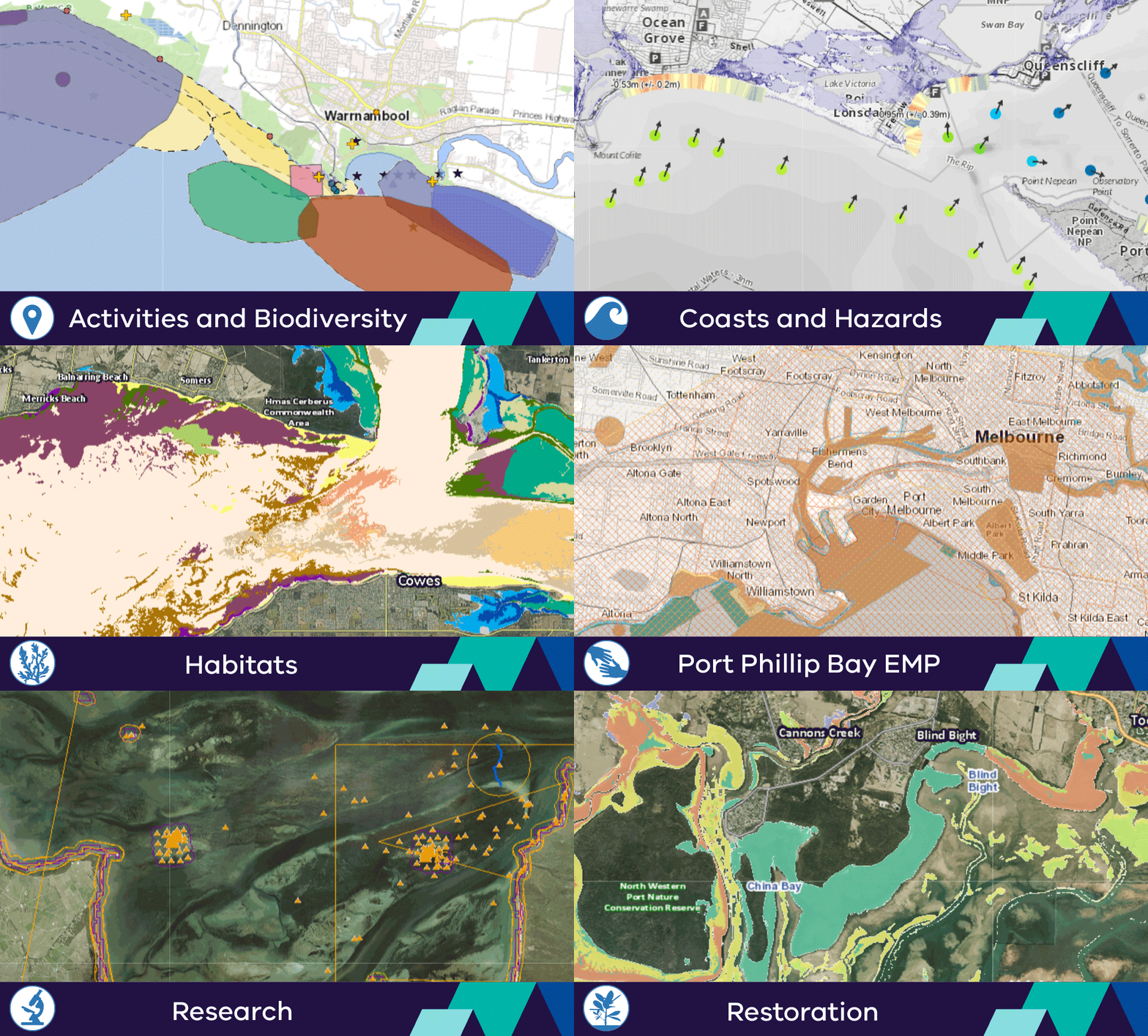
CoastKit provides free online mapping service that hosts publicly available spatial information to support evidence-based decision making, assist with planning applications and show opportunities for restoration activities. The portal offers a broad diversity of mapped layers, video imagery, graphing capabilities and decision-support tools.
CoastKit provides a central repository for marine and coastal data with intelligent in-built tools. In CoastKit you can zoom, explore and overlay maps, identify features, generate reports, download and create printable maps and images. The portal is frequently updated, using the best available information and promotes standardised data classification for collection, reporting, monitoring, assessment and evaluation.
You can find all CoastKit datasets in the Victoria Spatial Data Library aligning with FAIR data sharing standards.
For help or to add your data please email CoastKit@deeca.vic.gov.au.
CoastKit layer themes

CoastKit decision-support tools
CoastKit how-to series
Watch the videos below to find out more about CoastKit and how to use it.
Want to keep up to date with CoastKit news and updates? Join our email list.
Page last updated: 13/10/25


