The Victorian Coastal Monitoring Program (VCMP) maintains consistent data acquisition through a variety of survey and monitoring techniques. The VCMP Team is always looking to expand on the methods to ensure we capture a broad array of information.
Drone-based beach surveying program
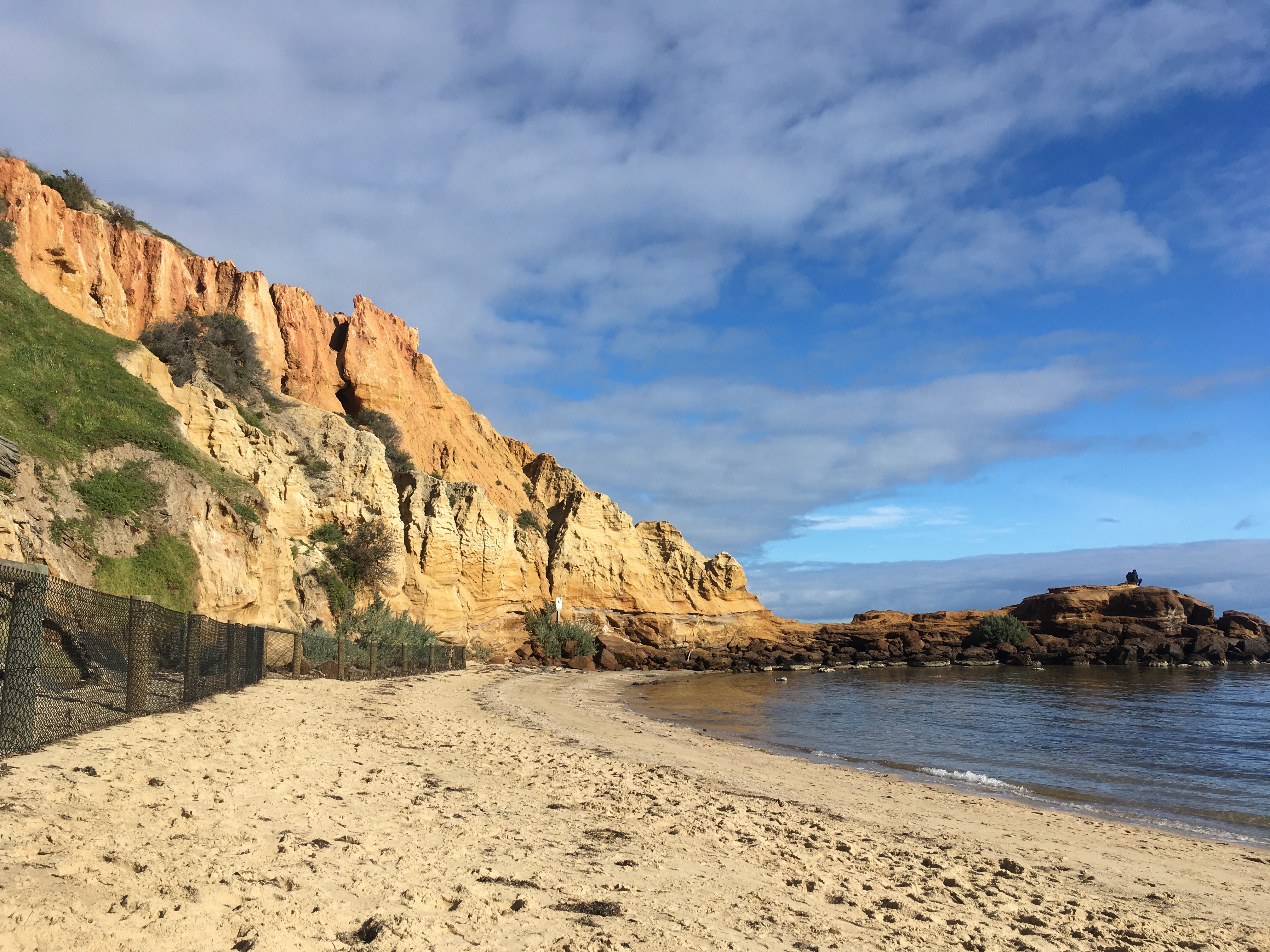
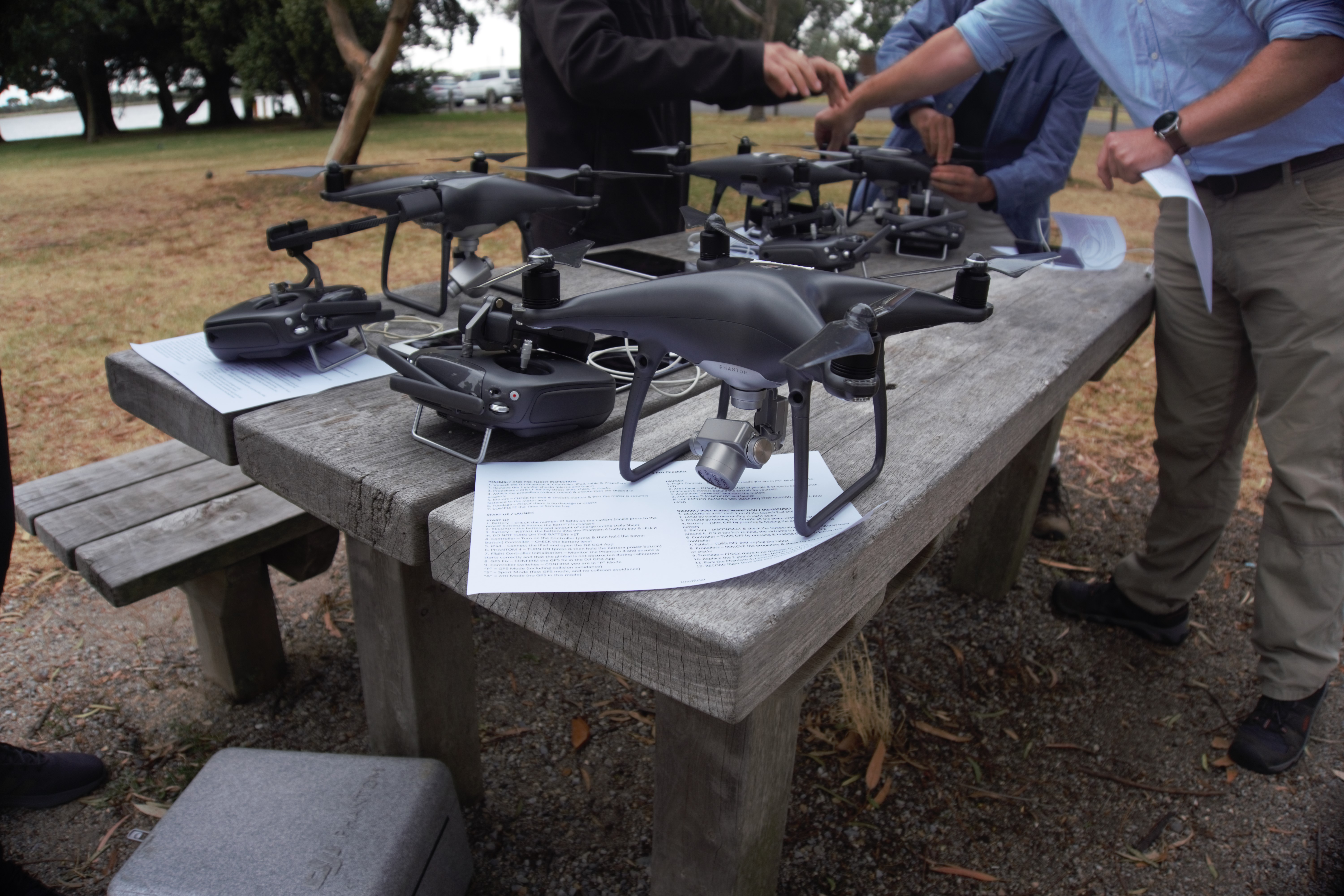
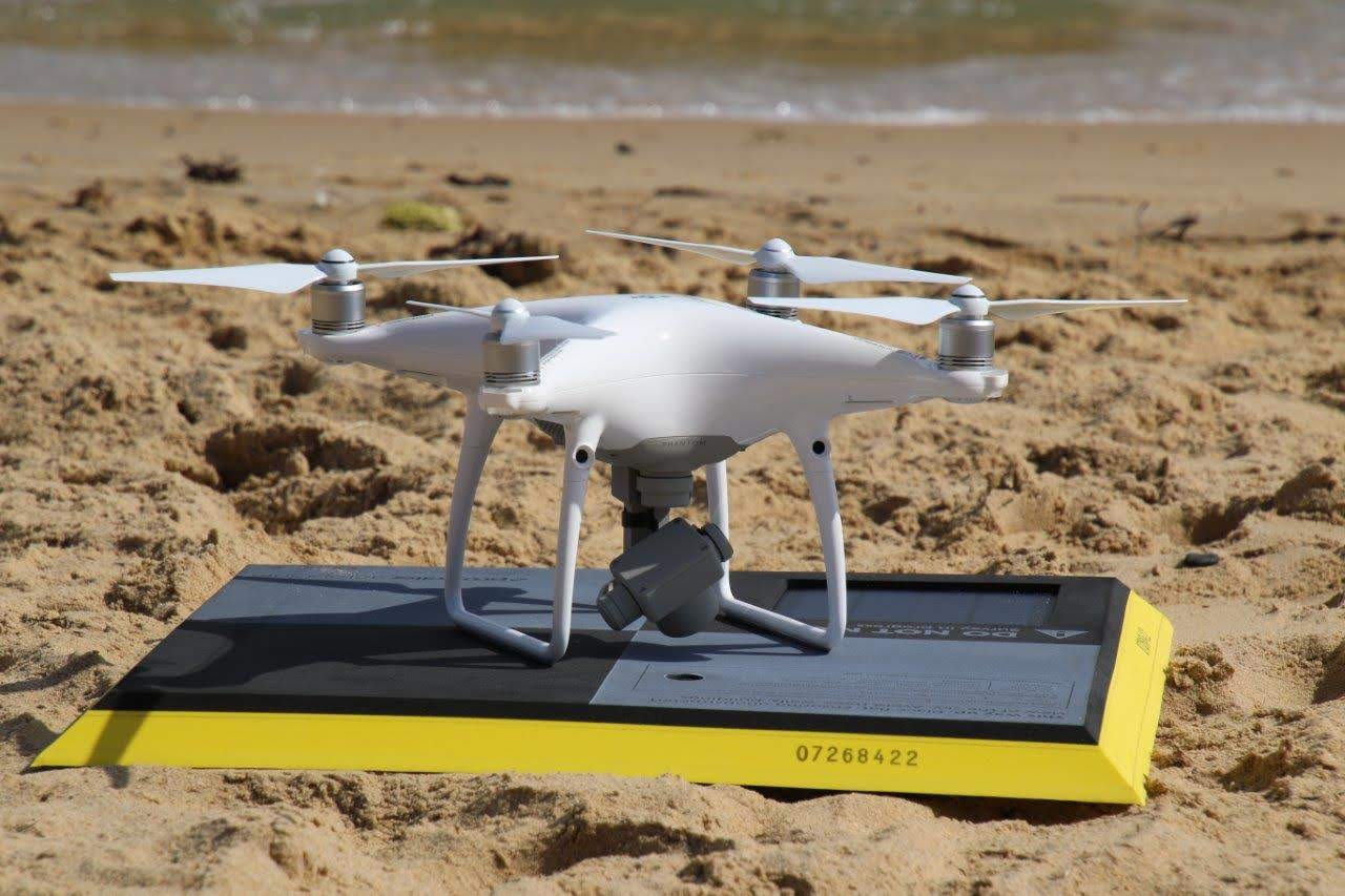
The VCMP implemented a drone-based beach surveying program in 2018. Lightweight consumer unmanned aerial vehicles (UAVs) or drones are regularly flown along priority beach sites.
Overview:
- DEECA partnered with Deakin University, Melbourne University, Propeller Aero and local volunteer groups.
- Over 30 sites are regularly (6-8 weeks) surveyed along the Victorian coast.
- Over 800 surveys have been conducted.
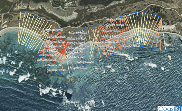
- Smart ground control targets (Propeller Aero Points) are used to ensure that the data produced is highly accurate.
- Data is available for public access through the Propeller Aero portal (read more about how to use the portal on our CoastKit and Data Portals page).
- The involvement of Citizen Scientists is fundamental to this world-first, award winning program.
Read more about the citizen scientist involvement on the Citizen Scientist and Traditional Owners page.
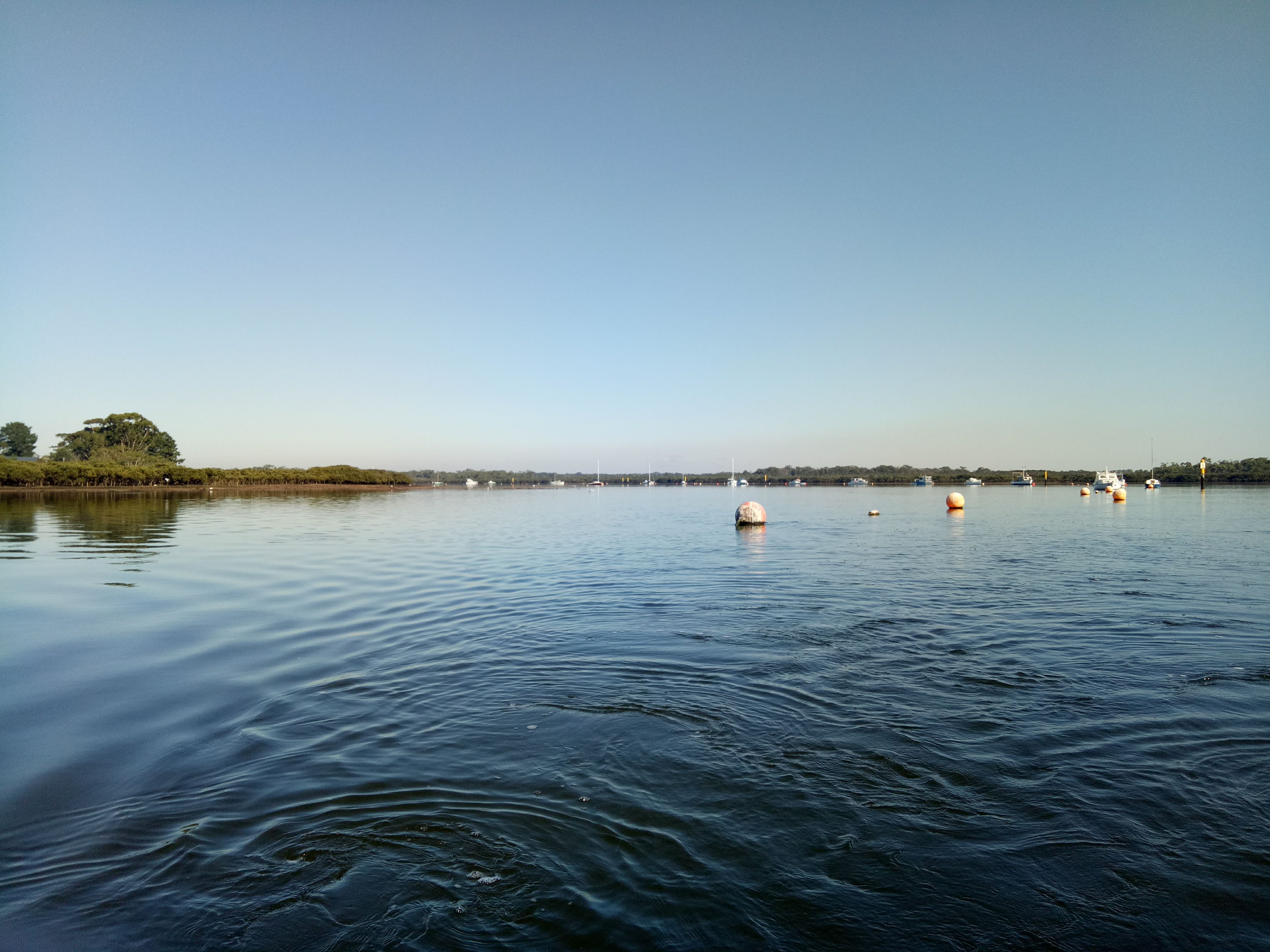
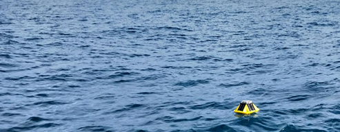
Wave buoy network
The Victorian Government funded the acquisition and installation of a wave buoy network along Victorian’s coast. The network consists of two different types of buoys: Triaxys buoys and SOFAR Spotter buoys.
The wave buoy network gathers data on significant wave height, peak period and wave direction. This data can be viewed and downloaded from VicWaves.
DEECA is looking to expand the information available by securing partnerships with pre-existing wave buoy systems.
In collaboration with oceanographers and marine scientists from Deakin University and the University of Melbourne, high resolution computer models have been created to forecast wave conditions along the Victorian coast. More information on the models can be found on the Data Access and Data Management page.
Cameras
Static images
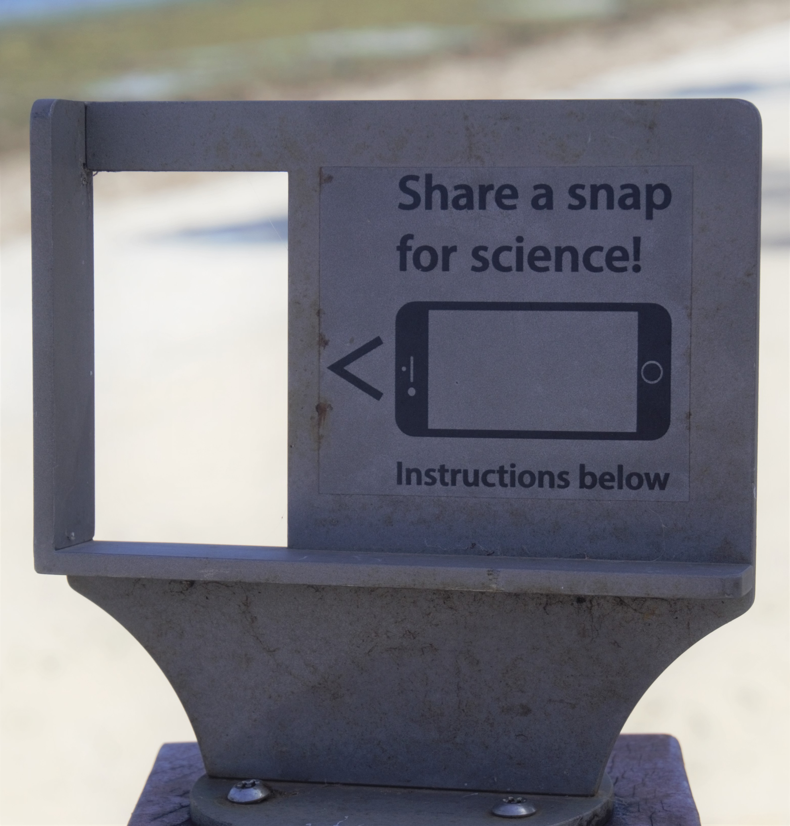
Along the coast of Victoria, CoastSnap stations have been installed at priority sites. These have been installed in collaboration with the UNSW - Water Research Laboratory, Melbourne University and local councils. Members of the public are encouraged to take photographs of the beaches using the specifically designed phone cradles and then upload their images. The shorelines are extracted from the static images using a technique known as photogrammetry.
For more information about how you can get involved, visit the Citizen Scientists and Traditional Owners page.
Live streaming
The VCMP team is currently looking to install live streaming cameras on a number of Victorian beaches. This will be a collaborative project with the UNSW - Water Research Laboratory, who have created BeachStat (a system for tracking shoreline position using machine learning algorithms and remote camera systems).
The daily shoreline detection using beach cameras will provide complimentary data to drone observations and topographic surveys.
Page last updated: 29/06/23