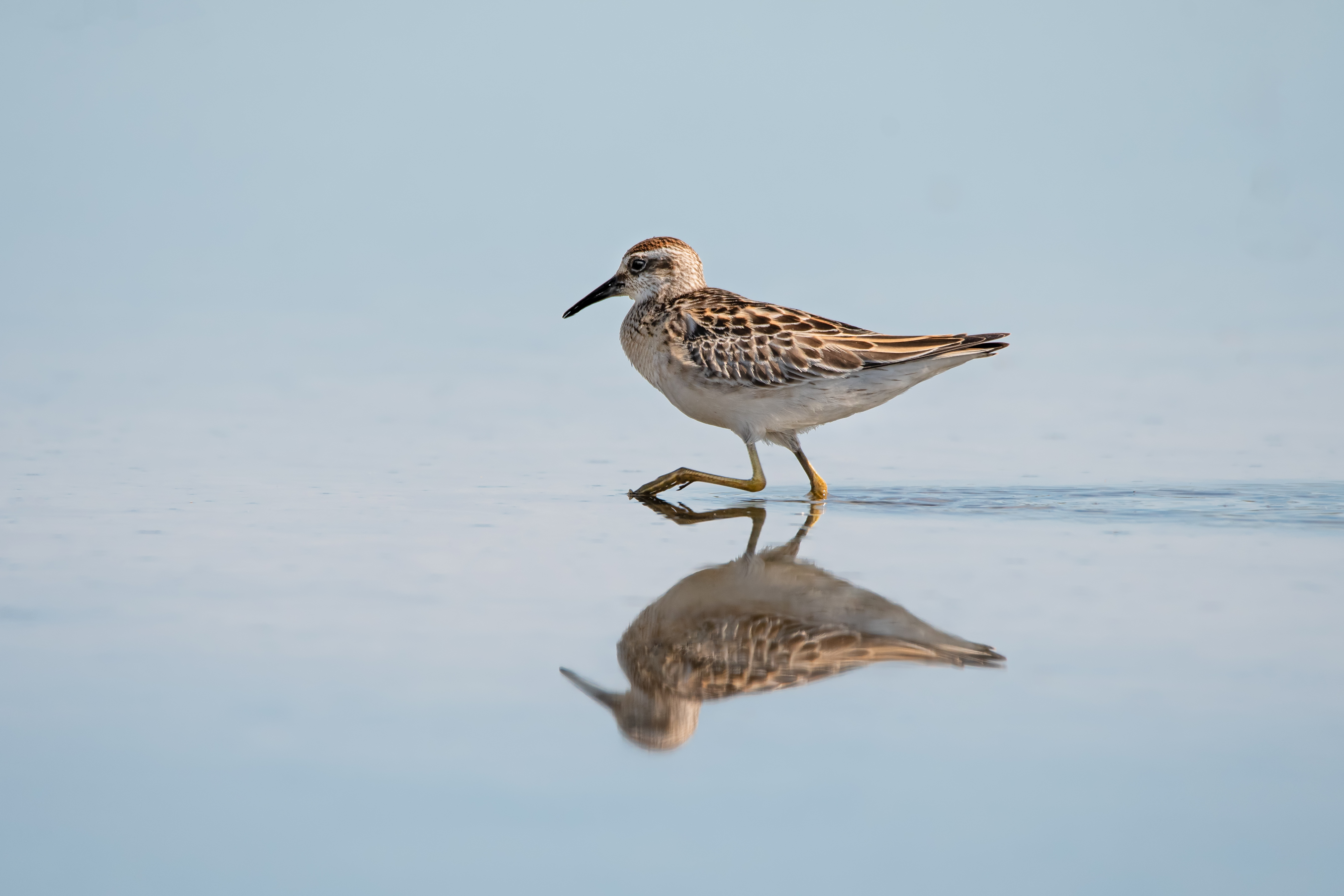
The status of migratory shorebirds in Port Phillip Bay data is currently under review. This status is informed by available time-series data collected by BirdLife Australia (abundance data of 28 species) and applying the Living Planet Index (for details see methodology). The trend reflects findings at both state and national reporting scales examined by the Threatened Species Index (TSX) and the Australia’s migratory shorebirds Trends and prospects (Rodgers et al. 2023).
Migratory shorebirds abundance is a good indicator of the state of the marine environment. These birds forage select prey with diverse traits

Photo Credit: Hayley Alexander birdlifephotography.org.au
(body size, bill shape, leg length), at various depths and habitats such as nearshore, offshore, estuaries, wetlands and coastal habitat types. Sites across Port Phillip Bay (West) and the Bellarine Peninsular are significant shorebird habitats recognised under the Ramsar Convention on Wetlands.
Page last updated: 30/10/25
