The Victorian Coastal Monitoring Program (VCMP) was established in 2017 with aims to:
- increase our understanding of how coastlines change over time.
- assist with managing coasts in the present.
- provide knowledge to ensure coasts are resilient in the future.
Increasing sea levels and more frequent storm events mean that Victoria’s coastline may be subjected to increasing coastal erosion and inundation. Coastal monitoring is crucial to understanding coastal change and provides an evidentiary basis for sound coastal management and adaptation.
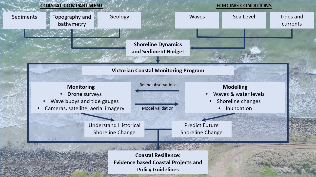
A critical goal of the VCMP is to aggregate and integrate data from the local to statewide scale, to aid decision-making at local and regional levels. The VCMP is now a major field monitoring and knowledge management program that provides coastal managers and communities with information on coastal processes and hazards.
Contact us to access data, get involved and find out more!
Program overview
The VCMP can be considered in the following components:
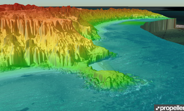
- Surveys and monitoring
- A variety of data collection methods are being utilised to monitor the coastline at over 30 sites.
- Research projects
- VCMP is funding research projects in collaboration with universities and consulting agencies.
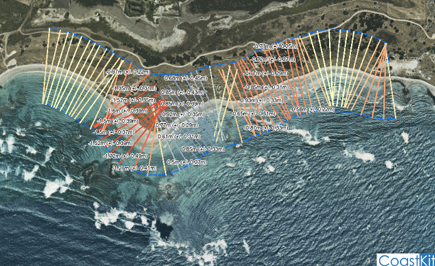
- CoastKit and data portals
- The VCMP endeavours to provide coastal managers and communities with information on coastal process and hazard risks. As such, support tools are available to facilitate evidence-based decision making.
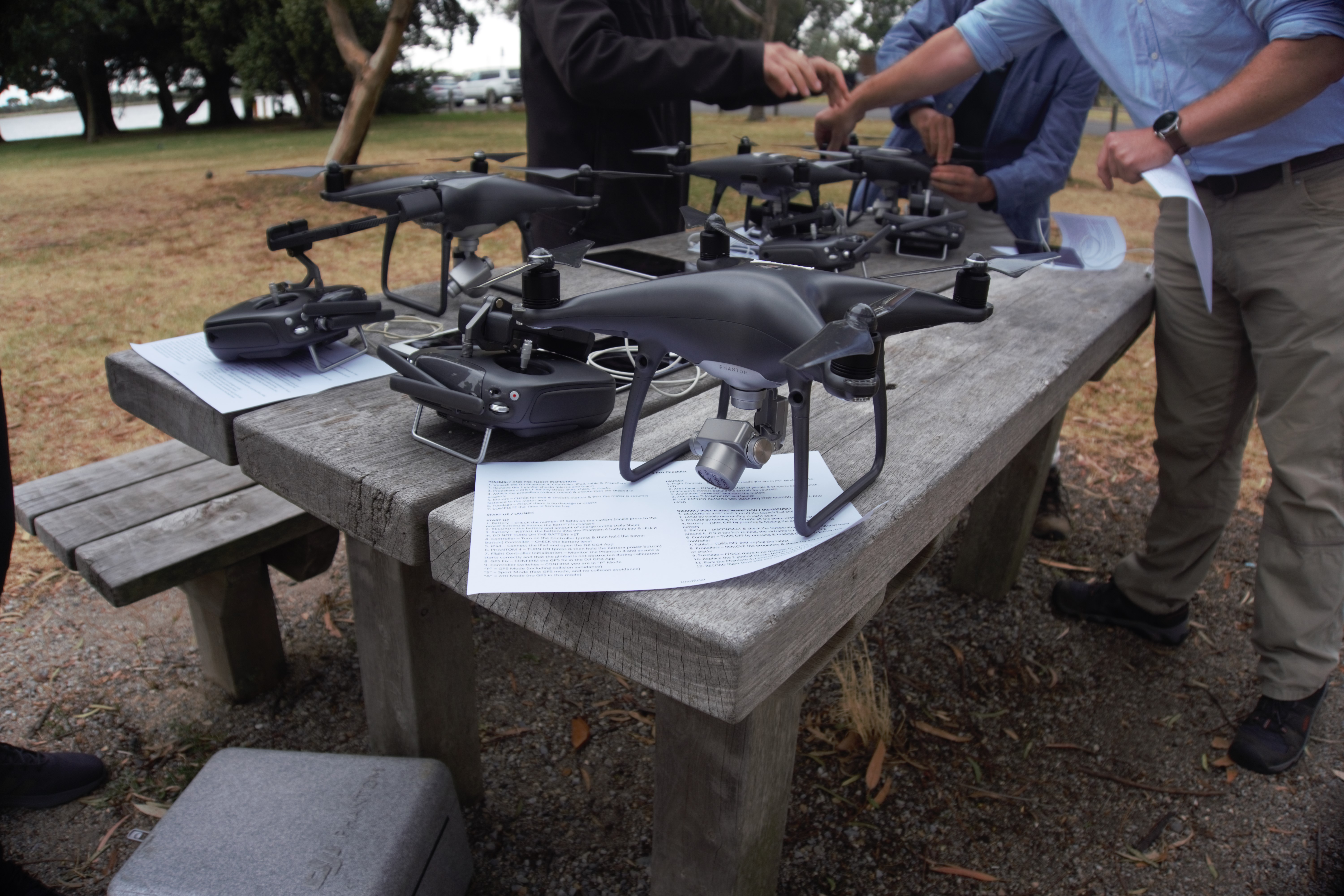
- Citizen scientists and Traditional Owners
- The VCMP team are training and working with citizen scientists to ensure frequent collection of valuable coastal data. Additionally, Traditional Owners are being supported to monitor culturally sensitive coastal sites.
- More information:
- Contact the VCMP Team
- Data access and data management (raw and processed data are available for public access)
- Reports and publications (read about the outcomes of the various research projects)
Supporting policies and strategies
The VCMP establishes a foundation for predicting the impacts of climate change on coastlines in order to support:
Environmental volunteering
Find out how you can get involved through volunteering with the Department of Energy, Environment and Climate Action.
Page last updated: 13/01/26