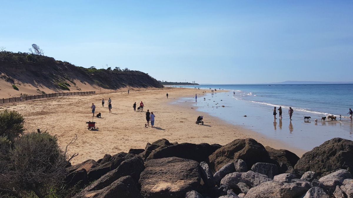
Apollo Bay and Marengo
- Location: Apollo Bay foreshore
- Timeline: Completed. Stage 1 was delivered in June 2021. Stage 2 delivered in December 2021.
- Details: The Victorian Government has invested $7.6 million to address erosion at Apollo Bay.
Three rock groynes and approximately 900 metres of rock wall are in place.
The groynes hold sand on the beach and the seawall protects the Great Ocean Road, foreshore path, cypress trees and other assets.
Cross-government planning is underway for Marengo.
Apollo Bay foreshore protection video
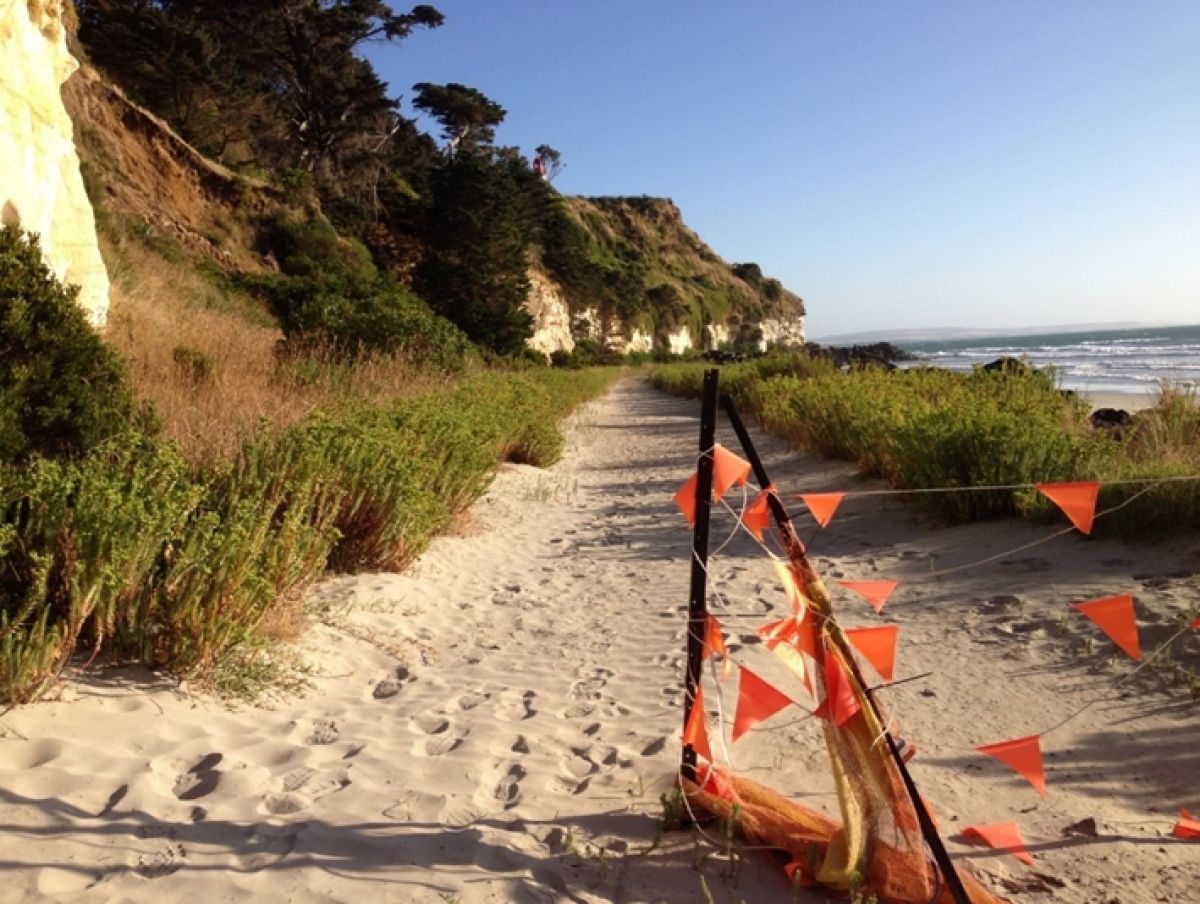
Eastern View
- Location: Great Ocean Road, Eastern View – between Devil’s Elbow and Coalmine Creek (Memorial Arch).
- Timeline: The adaptation lan was completed in October 2021. Short-term protection works was completed in December 2022.
- Details: Sections of Eastern View have experienced high levels of erosion and action is needed to avoid further damage to localised infrastructure, habitat and improve beach amenity.
An adaptation plan was developed in 2021 to explore short and longer-term solutions to coastal hazards between Devil’s Elbow and Coalmine Creek (Memorial Arch).
Adaptation options to coastal hazards seek to understand current community usage and how coastal processes will affect the site under a changing climate.
The adaptation plan recommended short-term rock bag protection in front of critical assets such as power poles and car parks. The DEECA and Great Ocean Road Coast and Parks Authority (GORCAPA) partnered to deliver these works in 2022 as part of a $2 million project.
A permanent rock revetement and service vehicle access ramp was installed in the Devils Elbow corner as part of this project. The crest of the revetement was vegetated to achieve a natural appearance as sought by the community. The rock bags are designed to be removed and reused as required.
Further planning on a longer-term solution is required at this site.
What we heard
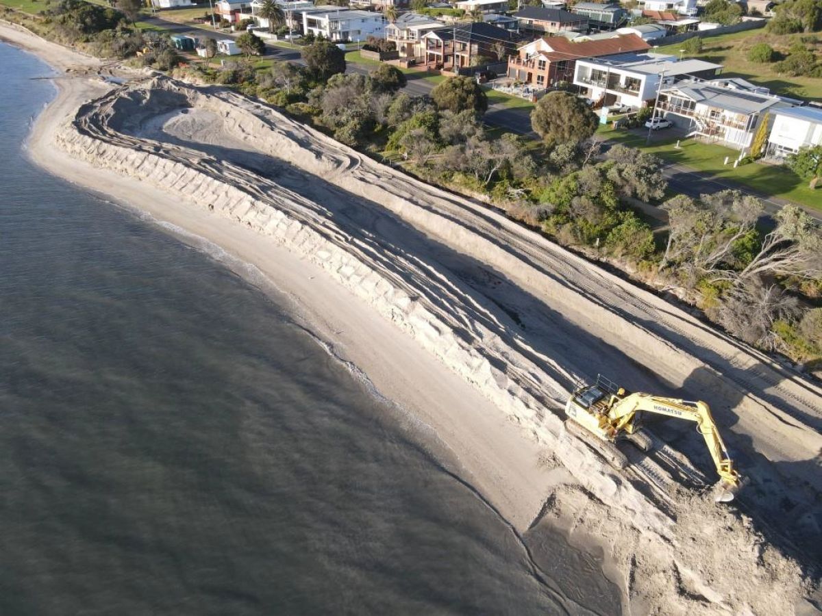
Indented Head and St Leonards
- Location: Northern Bellarine Peninsula – Indented Head and St Leonards.
- Timeline: Completed late 2021. The nourishments include a strategy to monitor, maintain and renew sand supplies for the next 10 to 15 years.
- Details: Four popular beaches across Indented Head and St Leonards on the northern Bellarine Peninsula, including Taylor Reserve and Wrathall Reserve and St Leonard’s were nourished with approximately 30,000 cubic metres (m3) of sand costing $2 million.
The additional sand:
- increased sand volumes within the system
- provides a buffer against coastal hazards such as erosion and inundation
- improves amenity
- protects assets behind the foreshore.
The beaches were chosen as part of the Victorian Government’s $8 million Port Phillip Bay Beaches Renourishment Program (now closed), following an independent assessment of Port Phillip Bay.
DEECA and the Bellarine Bayside Committee of Management worked together to deliver these works with input from the community and stakeholders
The sand deposited naturally shifts over time, moving along and around the Bellarine coastline.
Ocean Grove
- Location: Barwon River / Riverview Family Caravan Park, Ocean Grove.
- Timeline: Design due for completion 2023.
- Details: The rock revetment and levee located in between the Barwon River and Riverview Family Caravan Park (RFCP) is in poor condition.
A flood study conducted by the Corangamite Catchment Authority found the revetment was too low to provide flood protection.
DEECA has been working with Barwon Coast Committee of Management to produce detailed designs for the new revetment, which will protect the foreshore from riverine flooding, storm surge and sea level rise into the future.
- Location: Ocean Grove Bluff between the beach area between Presidents Ave (14W beach accessway) and Hodgson Street (13W beach accessway).
- Timeline: Completed in 2021.
- Details: Ocean Grove is a high-energy ocean beach exposed to Southern Ocean swell and wind waves generated in Bass Strait, which drive sediment transport processes on the shoreline.
Consequently, the beach experiences changes in width and occasional erosion of the back-shore area during storms. There is currently increased erosion which has impacted assets and infrastructure such as access stairs.
Coastal engineers developed a Coastal Adaptation Plan that focused on the beach area between Presidents Ave (14W beach accessway) and Hodgson Street (13W beach accessway).
This work assessed vulnerability of the site to coastal hazards, such as sea level rise and identified measures to be implemented over time in response to these hazards.
A major action of the plan is to conduct drone monitoring to understand shoreline movement and determine the most appropriate time to implement other coastal protection measures.
Community consultation occurred in Ocean Grove in June 2021 at several local drop-in sessions.
What we heard
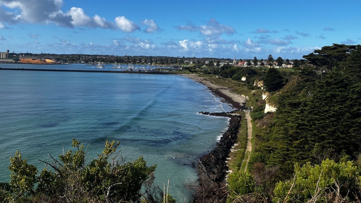
Mounts Bay
Located on Eastern Maar Country, a section of the Great Ocean Road runs atop a sand dune linking Apollo Bay and Marengo. This part of the coastline is known as Mounts Bay. Once a popular camping holiday site, erosion has been documented by a series of reports over the last 50 years.
The Department of Energy, Environment and Climate Action is working alongside the Great Ocean Road Coast and Parks Authority, Department of Transport and Planning, Barwon Water and NBN providers to develop an adaptation plan for the Mounts Bay beach area.
Extensive and targeted community and stakeholder engagement is occurring between 15, December 2023 – January 19, 2024 to help inform our adaptation plan as well as local knowledge of the area and how the community uses the beach.
To participate, go to https://engage.vic.gov.au/mountsbayadaptationplan
Portland
- Location: Portland, in particular the area north of Nun’s Beach towards Anderson Point.
- Timeline: Final report due June 2023.
- Details: The coastal cliffs at Portland are continually changing in response to natural landscape processes. The cliffs are composed of many varied layers of sedimentary rock which differ in age, thickness, origin, and hardness and include soft clays, basalt and sandy limestone.
Due to the geological variability present they are particularly vulnerable to ongoing erosion from heavy rainfal, wind and coastal processes leading to landslips.
In particular, the area north of Nun’s Beach towards Anderson Point has been identified as posing a significant and immediate risk to public safety.
Sections of the cliff in this area have deteriorated to a point where there is potential for a large-scale failure, such as cliff collapse or landslide. This could happen suddenly and without warning.
In collaboration with the Glenelg Shire Council (GSC), DEECA has engaged a consultant to prepare a coastal risk-based adaptation plan for Portland Cliffs. The plan is consistent with the pathways approach outlined in the Marine and Coastal Policy 2020 to inform the adaptation options and management actions from Anderson Point through to Nun’s beach to address cliff landslides and rockfall risks.
The plan will factor in existing technical, risk and scientific information and community values.
What we heard
What We Heard’ Portland Cliffs Community Consultation (PDF, 755.9 KB)
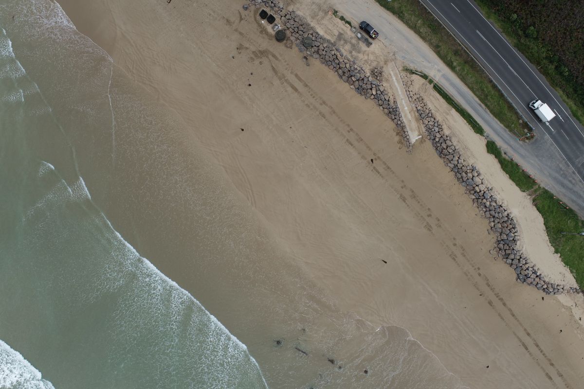
Queenscliff
- Location: The Narrows (Dog Beach), Point Lonsdale
- Timeline: Completed in November 2022.
- Details: At ‘Dog Beach’ the erosion is impacting the dune system that forms part of the thin piece of land known as the ‘Narrows’ which links Queenscliff with the Bellarine Peninsula.
The 300 metre stretch of beach has experienced erosion following the extension of the Point Lonsdale rock revetment, where a large terminal scour has evolved. As a result, the dune face has become steep and unstable, posing a public safety risk for users of the area.
To plan for and mitigate these impacts, DEECA is working with the Borough of Queenscliffe, key stakeholders and community to understand better the site's values, hazards, risks, and adaptation options.
The project will follow the pathway approach in the Marine and Coastal Policy 2020 to inform future management of the area. Actions identified can be implemented over time prompted by trigger points informed by ongoing monitoring.
Community consultation occurred at Dog Beach and online in March 2022 and in May 2022.
What we heard
- What We Heard - Listening post 27 March 2022 (PDF, 486.7 KB)
- What We Heard - Open house and survey 29 May 2022 (PDF, 488.2 KB)
- Queenscliff Dog Beach Coastal Adaptation Report (PDF, 2.9 MB)
The recommendations of the Adaptation Report align with community preference and the Marine and Coastal Policy for non/minimal intervention. This will enable the values of the site to be retained while addressing safety and accessibility concerns. Ongoing monitoring will inform when trigger points are nearing, which will prompt a review of the options prior to further intention.
Wye River
- Location: Wye River foreshore.
- Timeline: Completed 2021.
- Details: At Wye River, the estuary opening has undergone movement in an easterly direction. This resulted in some recession of the dune system, impacts to beach access and risks to local assets, including the surf lifesaving club ramp due to erosion.
A strategy was developed to identify what the dominant processes influencing estuary opening and movements at Wye River are and recommended measures to address the issues.
The Great Ocean Road Coast and Parks Authority (GORCAPA) completed short-term remedial works, including sand renourishment and scraping to minimise further erosion of the foreshore, damage to the boat access ramp and improve public safety.
The estuary has since realigned, reducing the impact to the caravan park and surf life club assets. A new ramp has also been installed, reinstating access to the surf lifesaving club’s beach patrol vehicles.
What we heard
‘What We Heard’ Wye River community consultation (PDF, 924.4 KB)
Coastal erosion and other related pages
Image gallery
Page last updated: 18/08/25